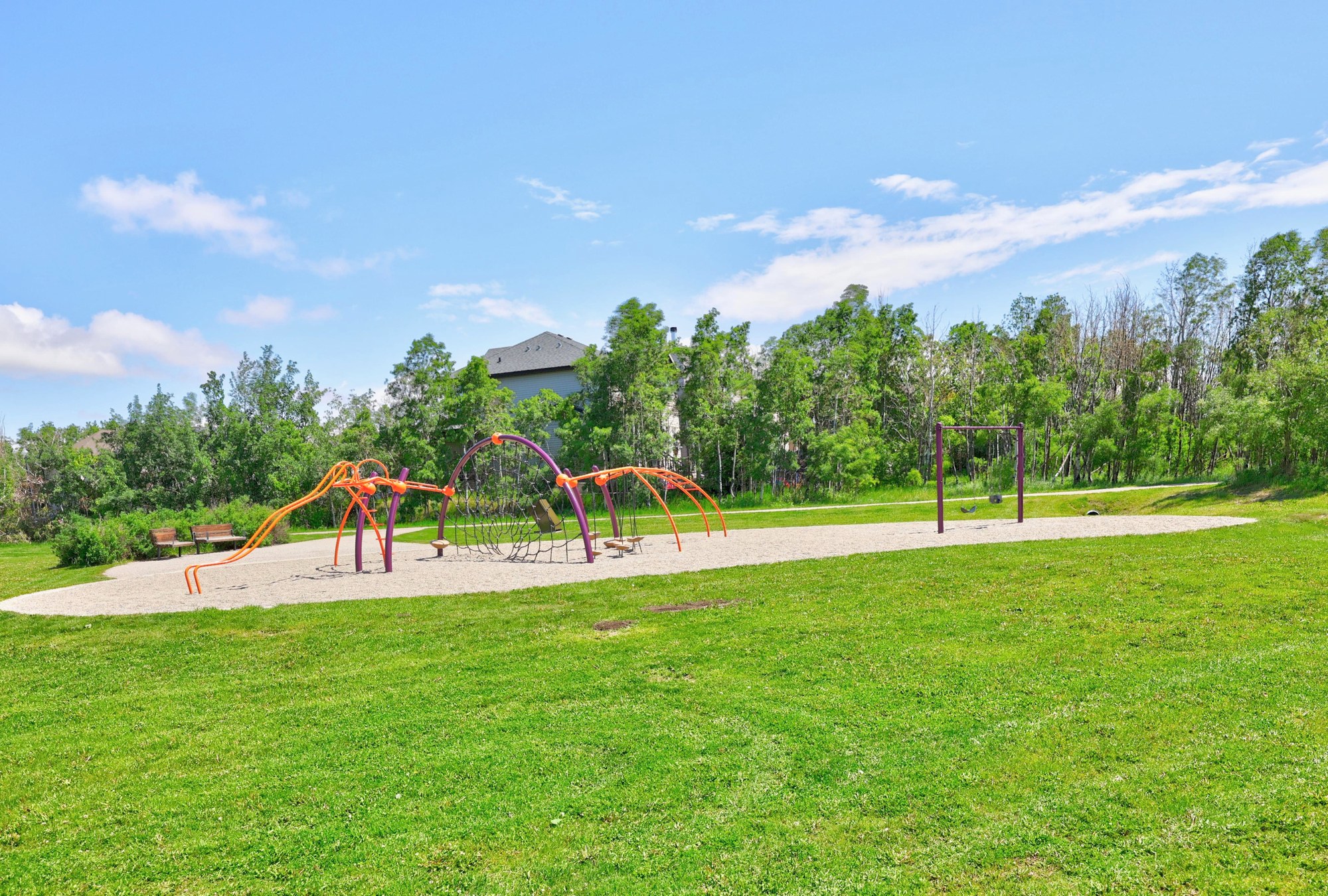
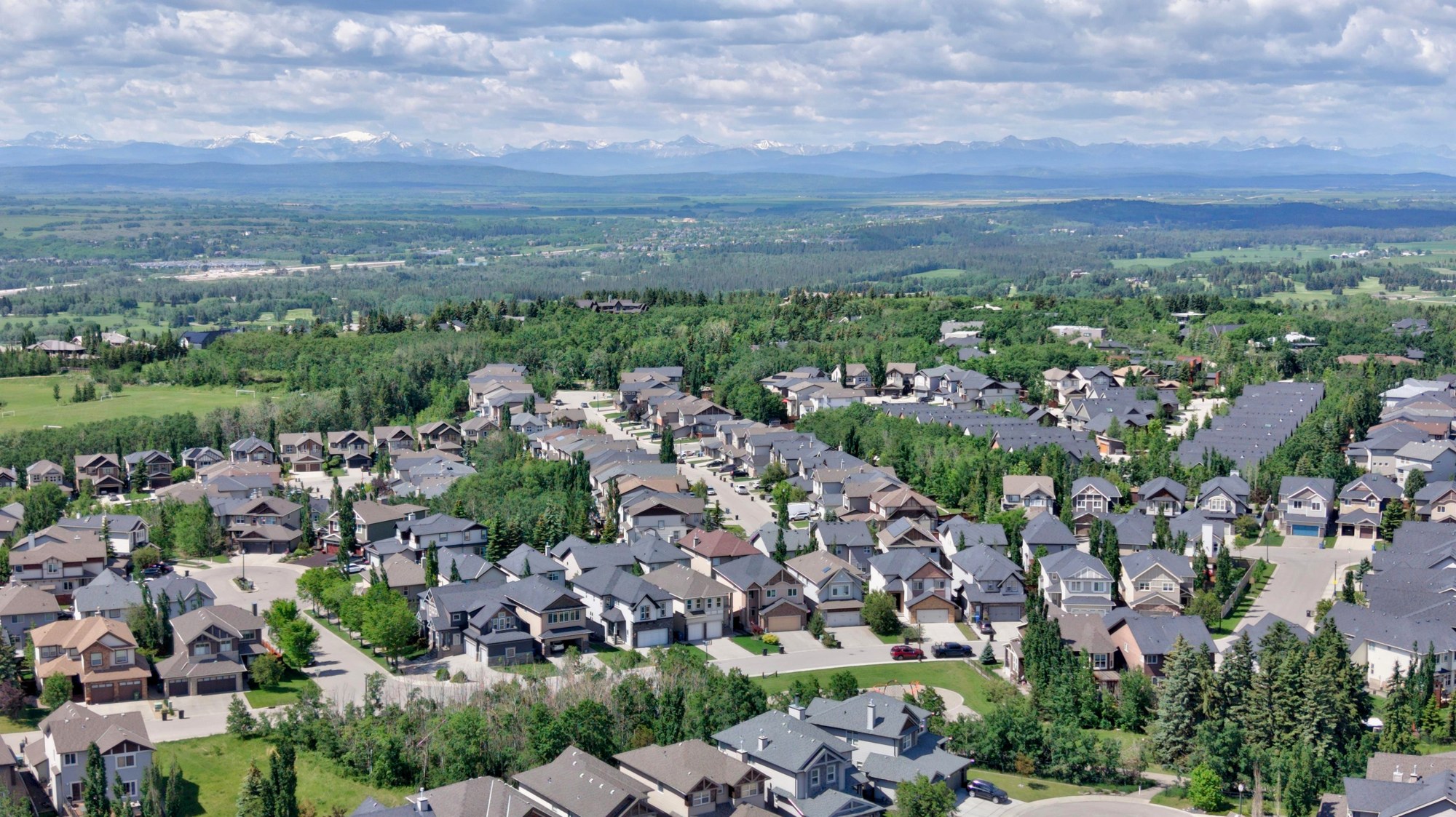
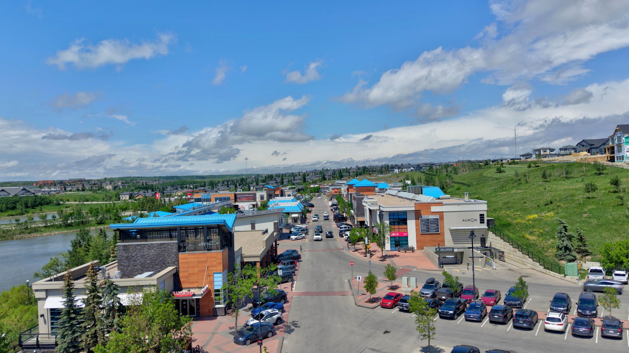
Free Springbank Hill community photos for Calgary listings. Download MLS-size or print-size folders from Google Drive.
Springbank Hill is a large suburb near Calgary's western limit, bounded by 17 Avenue SW, Stoney Trail, 69 Street SW and 101 Street SW. It was established in 1999 and is made up of subdivisions such as Springborough, Summit of Montreux, The Slopes and Anatapi. The 69 Street CTrain station and Ernest Manning High School are in the area, and it is not the same as the rural Springbank to the west. The 2006 census showed about 87% single detached housing. UrbanMeasure photographs these homes for realtors, and can add RMS measurements and floor plans. Read about our real estate photography for Springbank Hill.